Project overview
This platform is a disaster relief coordination system that uses OpenStreetMap (OSM) for real-time tracking of victims, volunteers, shelters, and resources. Volunteers’ locations are displayed live, enabling efficient routing and task assignment.
It uses various algorithms to prioritize urgent requests, predict resource shortages, and form smart volunteer teams. By combining geospatial mapping with AI insights, the system ensures faster, data-driven disaster response, improving coordination and saving lives.
Inspiration
This was inspired by the need to coordinate disaster relief efficiently, so that victims and volunteers can connect in real-time and resources are managed effectively.
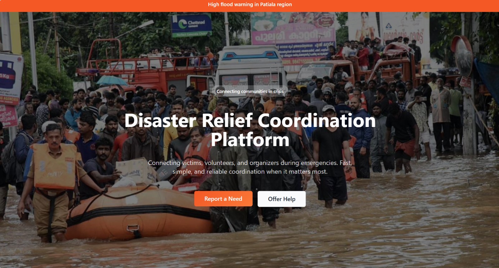
What it does
This project is designed to improve disaster relief coordination by connecting victims and volunteers in real time. When disasters like floods, earthquakes, or fires occur, victims often struggle to communicate their needs, while volunteers may not know where help is most required. This platform allows victims to request essential aid,such as food, medicine, or shelter,while volunteers can see and respond to nearby requests. Organizers can track the locations of both volunteers and victims, assign tasks efficiently, and monitor the overall progress of relief efforts. By providing a centralized, real-time system, the platform reduces chaos, ensures faster response times, and maximizes the impact of available resources.
How we built it
We designed and developed this platform as a comprehensive, large-scale solution to streamline disaster management and relief coordination. Using React for a dynamic and responsive frontend, Node.js and MongoDB for a robust backend, and Socket.io for real-time bi-directional communication, the system allows continuous tracking of volunteers and victims during crises. At the core of this platform is a fully integrated OpenStreetMap (OSM) interface with Leaflet, providing a high-resolution, interactive map that visualizes live locations, routes, and areas of need. This allows organizers to manage resources efficiently, prioritize high-urgency cases, and coordinate multi-level rescue operations seamlessly, transforming chaotic disaster scenarios into structured, actionable relief efforts.
Individual contributions
Amisha Williams-Backend
Jiya Gupta - Osm, leaflet, ml,frontend
Riddhima -designing
Shreya - frontend
Ishi - Osm, leaflet, ml,frontend
Challenges
Challenges I faced included real-time location tracking with Socket.io, integrating OpenStreetMap for dynamic live maps, managing large disaster data efficiently, syncing frontend React state with backend updates, and designing a clean, intuitive dashboard for emergency scenarios.
Accomplishments
My accomplishments included successfully implementing real-time volunteer and victim tracking using OpenStreetMap and Socket.io, building a fully responsive React dashboard, integrating filters and stats for disaster management, and ensuring smooth communication between frontend and backend for live updates.
Learnings
I learned how to integrate real-time geolocation tracking with OpenStreetMap, manage live data updates using Socket.io, structure a full-stack React + Node.js application, handle state and hooks properly, and design an intuitive, responsive dashboard for disaster coordination.
Next steps
Next, we aim to expand the platform’s capabilities by integrating multi-layered OpenStreetMap features, such as heatmaps showing high-need areas, live tracking of multiple volunteers and victims simultaneously, and dynamic routing for fastest aid delivery. We also plan to add analytics dashboards for organizers, priority-based alert notifications, and offline support for areas with poor connectivity. These improvements will make the system even more robust, actionable, and ready for large-scale disaster response, ensuring faster coordination and smarter decision-making.
Links